by Rachel McGuire
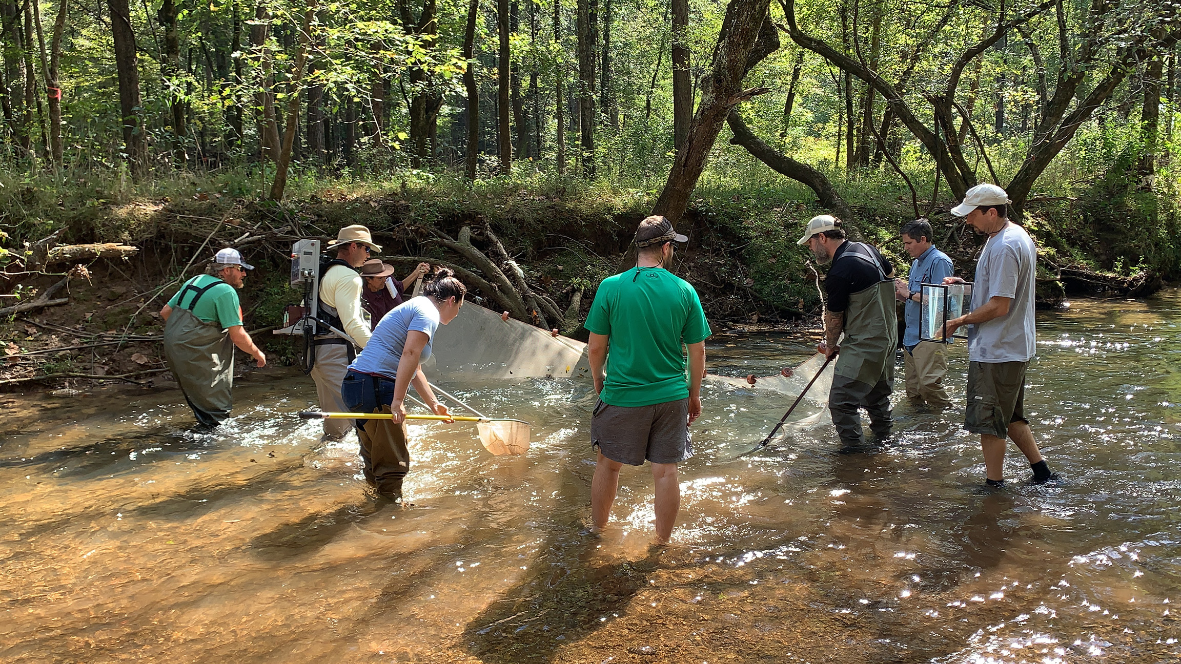
Several Auburn University Water Resources Center (AUWRC) team members attended an Urban Darter Training in the Turkey Creek Nature Preserve in October 2021. The training was hosted jointly by the U.S. Fish and Wildlife Service, The Nature Conservancy, Geological Survey of Alabama, Alabama Department of Environmental Management, Alabama Forestry Association, Cawaco RC&D, Freshwater Land Trust, and the Turkey Creek Nature Preserve.
Bank Erosion Hazard Index (BEHI)
Jason Throneberry and Alana Reynolds of The Nature Conservancy in Alabama trained attendees on the Bank Erosion Hazard Index (BEHI). BEHI is a procedure for assessing current streambank erosion and potential for future streambank erosion. It was developed by Dave Rosgen, a professional hydrologist and geomorphologist who is a leading figure in the science of restoring rivers. Assessing bank erosion is important because excess sediment is one of the biggest threats to water quality and aquatic species in Alabama’s rivers. Jason and Alana spend much of their time assessing BEHI on Alabama’s major rivers. They demonstrated how they assign point values to several aspects of bank condition. The points are used to calculate an overall score that can be used to inventory streambank conditions over large areas and prioritize resources to those banks of Alabama rivers that are most in need of restoration.
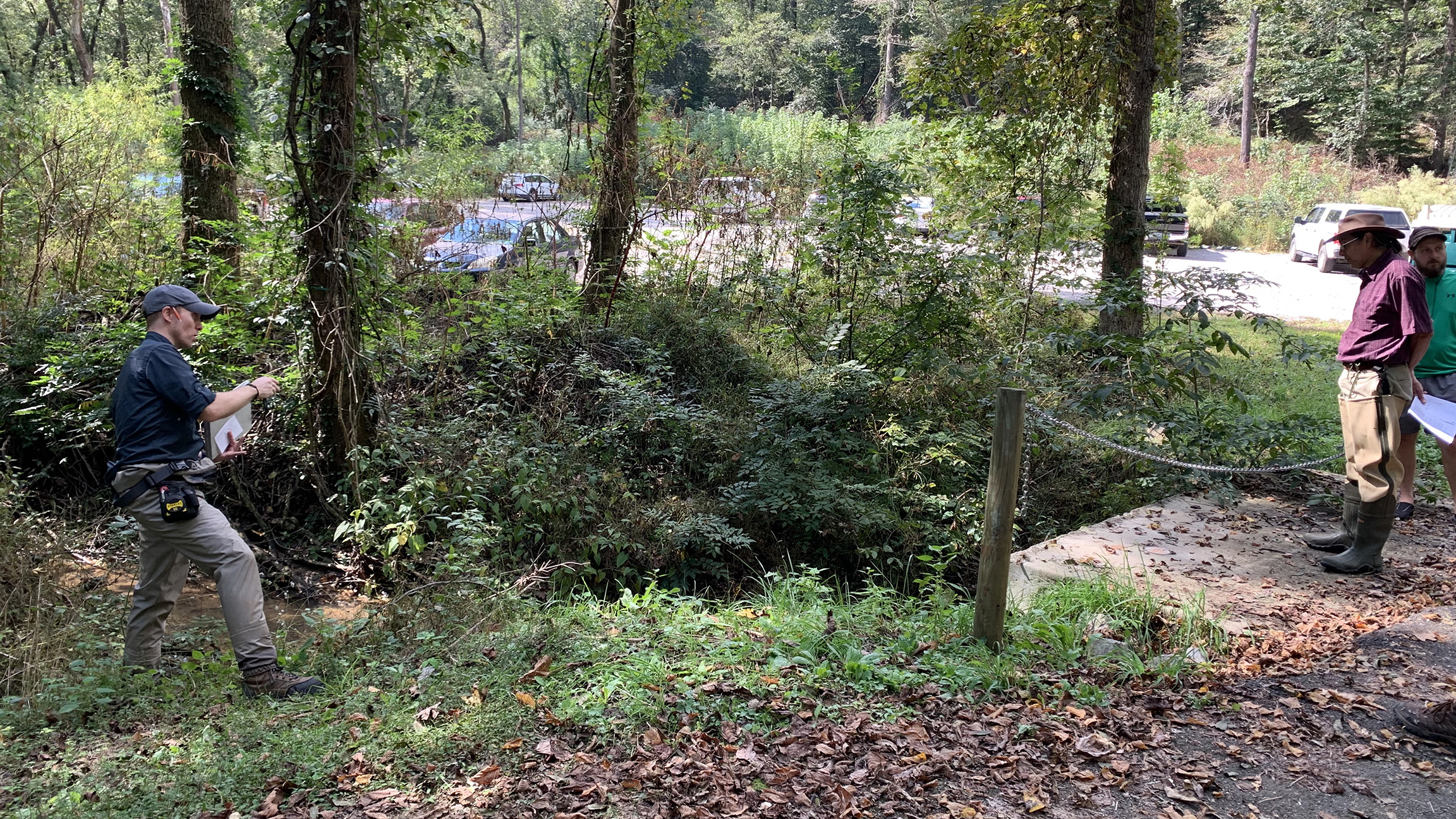
West and participants at a road-stream crossing during the training. Photo Credit: Eve Brantley
Road-Stream Crossing Assessments
Daniel West, Environmental Scientist in the Ecosystems Investigations Program at the Geological Survey of Alabama (GSA), trained attendees on how to assess road-stream crossings. With over 210,000 miles of roads and over 132,000 miles of rivers and streams in Alabama, there are a lot of points where roads and streams or rivers intersect. Poorly designed or poorly maintained road-stream crossings can lead to increased stream bank erosion and create habitat connectivity problems within the ecosystem of a watershed. Many species of fish need to move upstream to their birthing grounds to reproduce. A poorly designed road-stream crossing can inhibit or cut off access to said birthing grounds. The GSA is interested in training environmental professionals to help inventory the tens of thousands of existing road-stream crossings in Alabama in order to identify candidate crossings for retrofitting or replacement. Data collected in a road-stream crossing evaluation include road pavement type (black top, concrete, dirt, etc.), ease of water dispersal, channel morphology, crossing type (bridge, culvert, or ford), crossing structure material, vegetation cover, and slope assessments.
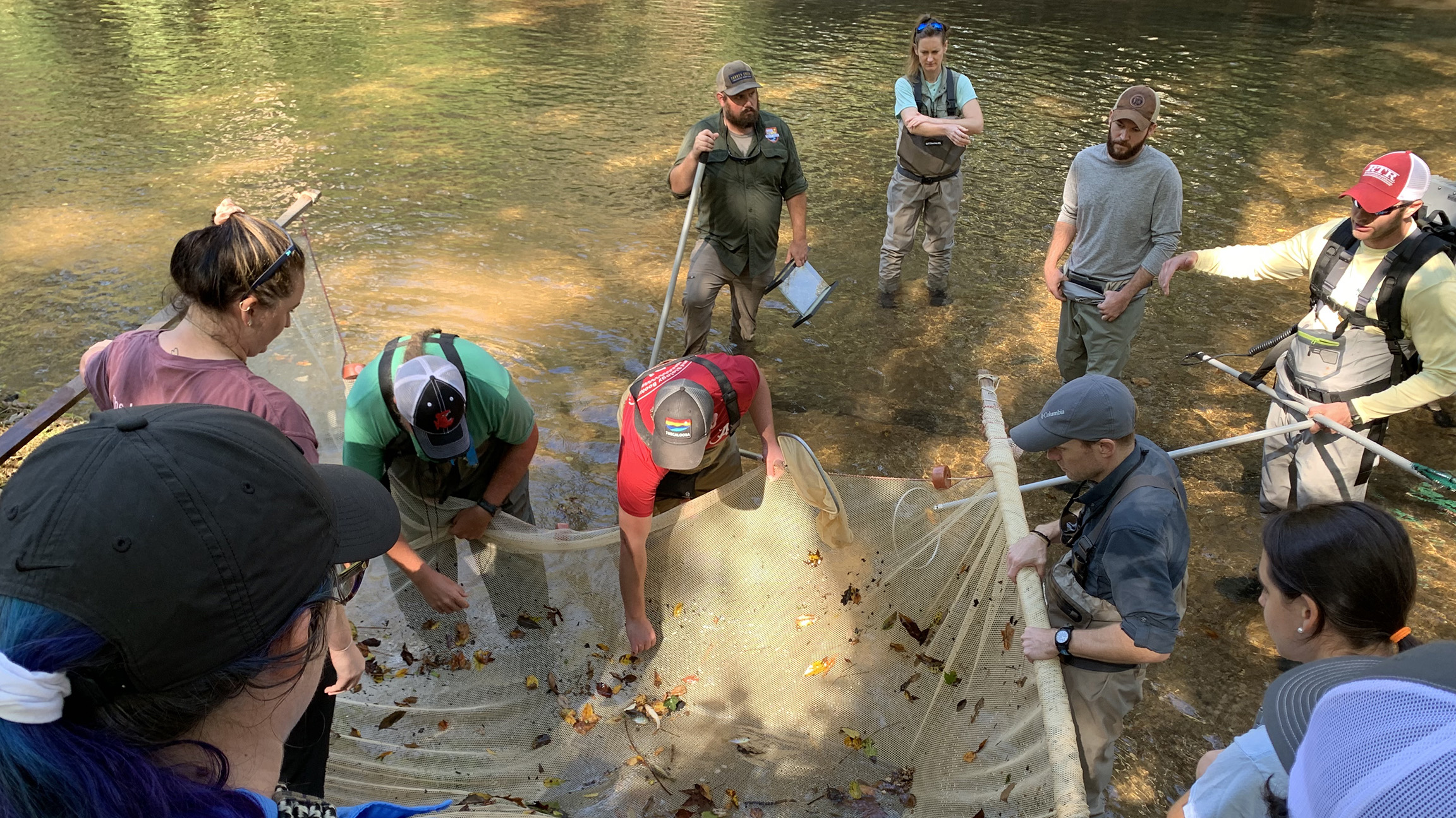
Checking Nets after sampling. Photo Credit: Eve Brantley
Backpack Electrofishing Sampling
After instruction on BEHI and road-stream crossing assessment, the group sampled for fish in Turkey Creek. Fish were captured using backpack electrofishing coupled with a seine net and dip nets. Electrofishing is a technique commonly used by biologists to collect fish in freshwater systems such as streams and lakes. An electric field is emitted from a pulser that temporarily stuns the fish, making them easy to capture in nets. Fish will recover, normally in a matter of minutes, and can be returned to the water.
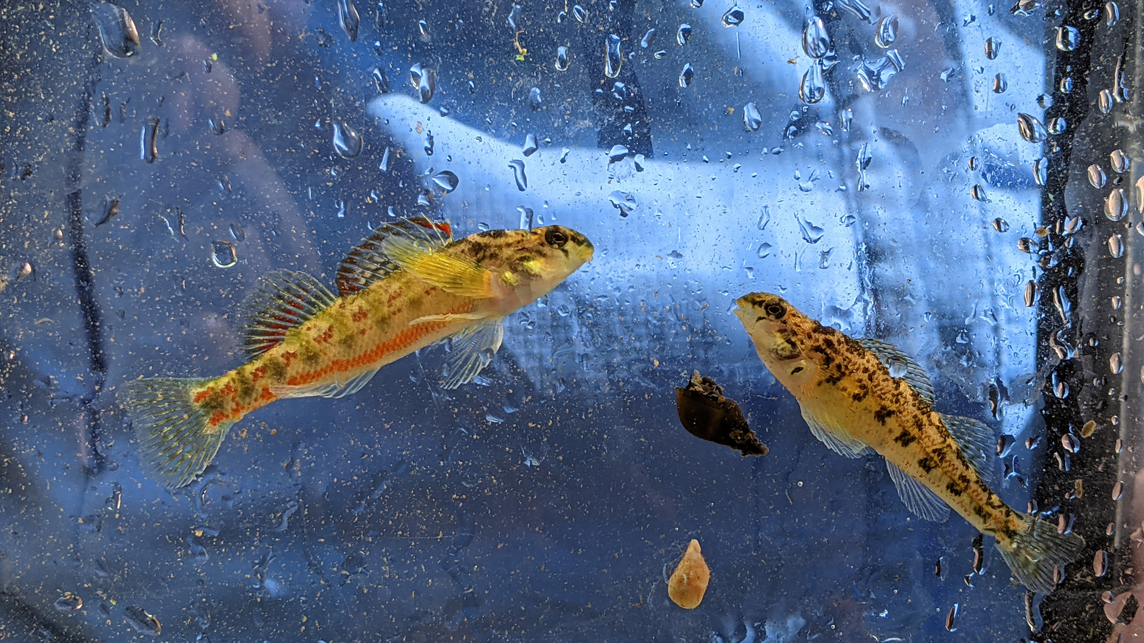
A male (left) and female (right) Vermilion Darter (Etheostoma chermocki). Photo Credit: Eve Brantley
Vermilion Darter
The group collected several species, including one of the rarest fish in Alabama: the critically endangered Vermilion Darter. The Vermilion Darter wasn’t described by scientists until 1992 and was swiftly listed under the Endangered Species Act in 1999. The species is endemic to the Turkey Creek watershed that drains nearly 55,000 acres in the most populous county in Alabama: Jefferson County. Vermilion Darters displays sexual dimorphism, meaning the males and females have different physical appearances, heightened during the breeding season (see photo above). This species is small, only reaching between up to 2.5 inches and prefers moderate to swift currents in streams with alternating riffles and pools.
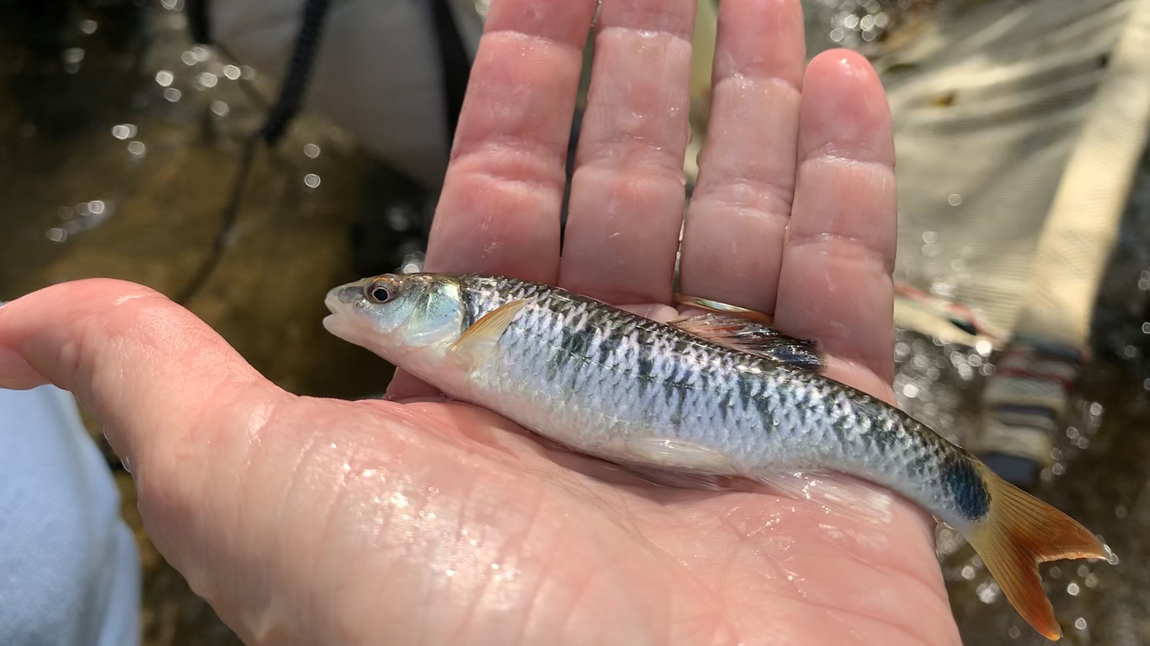
A training participant holds an Alabama Shiner (Cyprinella callistia). Photo Credit: Eve Brantley
Alabama Shiner
The Alabama Shiner is a type of minnow endemic to the Mobile basin, most commonly found above the Fall Line. Adults prefer moderate to fast flowing runs and riffles over rocky substrates while juveniles prefer more shallow, slower-moving waters. The Alabama Shiner feeds on aquatic insect larvae, snails, and other bottom-dwelling animals.
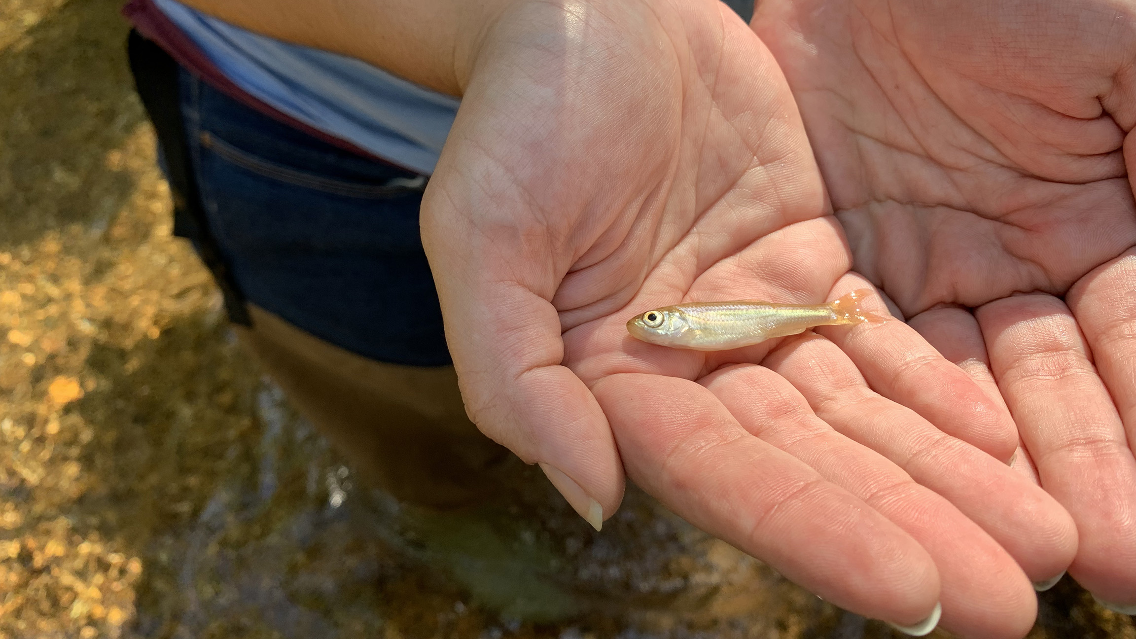
A striped shiner (Luxilus chrysocephalus) in hand. Photo Credit: Eve Brantley
Striped Shiner
The Striped Shiner is also a type of minnow, but occurs in a much broader range that includes the western half of the Southeast, the southern Great Lakes, and the Ohio River basin. The Striped Shiner is a surface feeder that consumes aquatic and terrestrial insects, filamentous algae, and sometimes, larger invertebrates. It prefers slow to moderate currents and alternating pools and riffles.
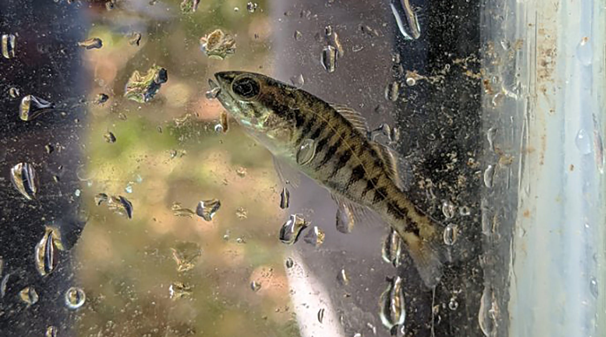
A Warrior Bass (Micropterus coosae) complex, one of the four native Redeye Bass in Alabama. Photo Credit: Carolina Ruiz
Warrior Bass
The Warrior Bass was recently described out of the Redeye Bass complex. Redeye Bass are endemic to the Mobile basin, occurring in the Coosa and Tallapoosa river systems with a patchy distribution in the Black Warrior basin. The Warrior Bass has dusky bars or blotches along the sides. Most individuals are found in small to medium-sized, upland streams with in-stream cover such as water willow or near a submerged stump or boulder. They consume aquatic and terrestrial insects, crayfish, and other small fishes.

